Land Acknowledgement
We acknowledge with respect, that the land that Lost Wonder Hut is situated upon is the ancestral land and territory of the Nuuchiu (Ute) people who were forcibly removed by the United States Government. It is important for this to be acknowledged because the narratives of the lands in this region, and all throughout the United States, have long been told from dominant perspectives, without full recognition of the original land stewards who continue to inhabit and connect with this land. Thank you for your attention and respect in acknowledging this important legacy.
Hut History
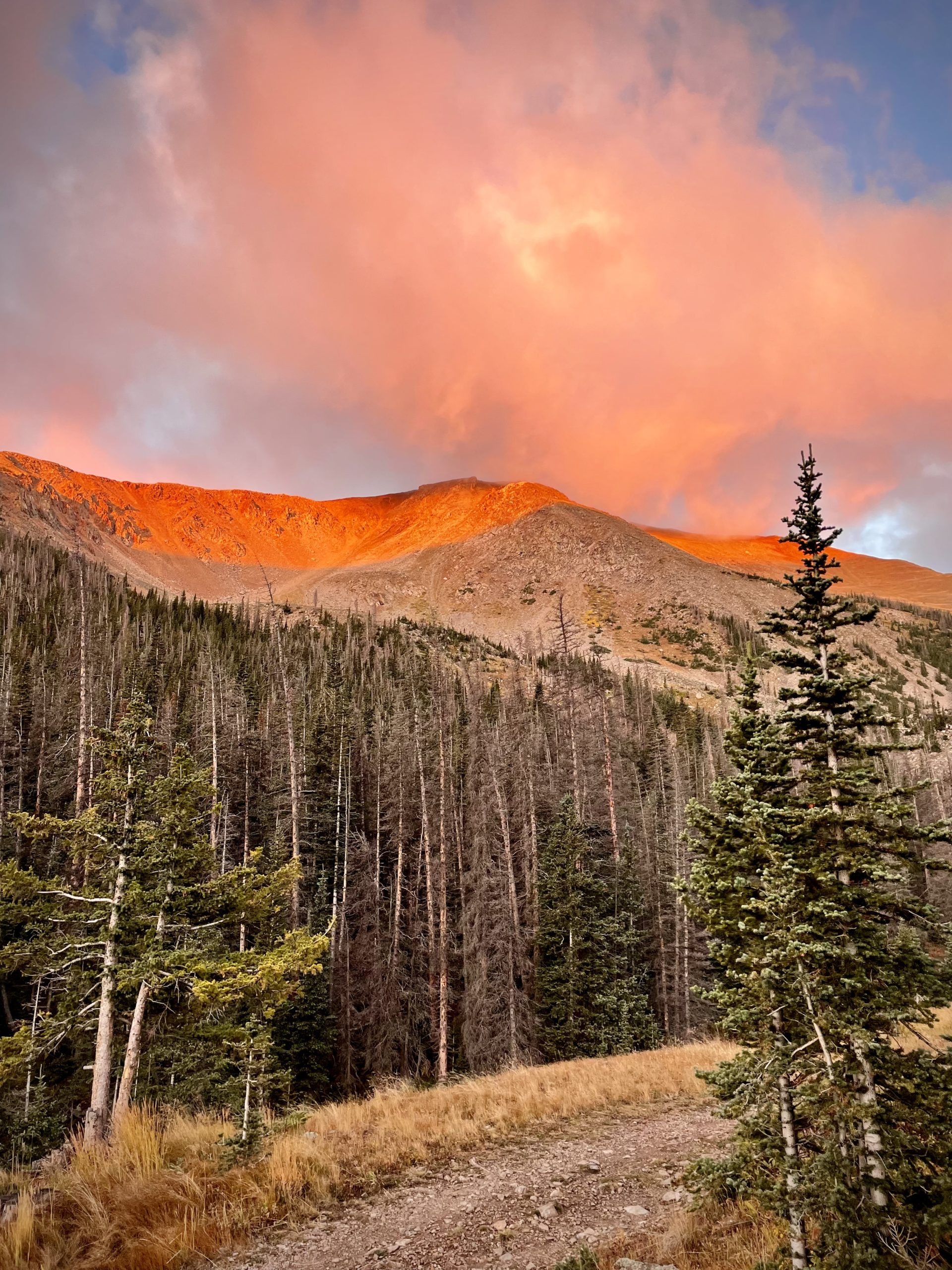
The hut is named after the mining claim that it sits on, Lost Wonder Load, and the property includes two other claims as well, the Cave Load and the Minnie Load. Origins of the hut date back to the early 1900s when there was still active mining in the valley and a functioning sawmill. Just down the hill from the front door of the hut, you can find an old cement foundation that was the platform for the sawmill. In the 1950s a lesbian couple, who wanted to live their lives in peace, purchased the property and built the hut as their cozy mountain getaway, where they lived full time. If you wander out behind the hut in the summer you can find grave markers for their dogs in the forest. In the 1970s it was purchased again and converted into a backcountry ski lodge. The hut has a rich history of ownership and most locals in this valley have a memory or two made at the hut.
The Lewis’ began running Lost Wonder in the mid-2000s and Jess and Natalie became partners and owners together in 2021. The Lewis’ added the private residence alongside the primary hut, are working on building out a primitive campground for CDT and CT hikers, and strive to continue the rich history of land stewardship in a variety of ways – including habitat restoration for snowshoe hare and the endangered lynx as well as extensive fire mitigation efforts to bring back a healthier forest.